

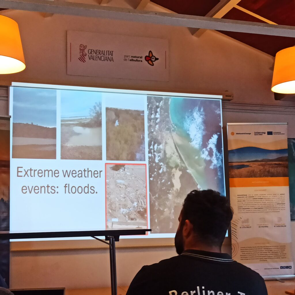
Flooding is a widespread natural disaster causing significant economic and social disruption. Wetlands play a crucial role in regulating and mitigating the impacts of flooding by acting as natural sponges. They can absorb and store vast amounts of water during periods of heavy rainfall or snowmelt, reducing the peak flow of rivers and streams. This stored water is then gradually released, helping to maintain streamflow during drier periods.
While wetlands are naturally designed to mitigate floods, poor management can compromise their function and even worsen flooding regulation issues. Uncontrolled drainage, urbanization, and canalization reduce wetlands’ ability to retain water, increasing flood risks. Pollution weakens vegetation, while lack of maintenance further diminishes their effectiveness.
Flood regulation is one of the two wetlands-based-solutions (WP2) addressed by Wetland4Change, with the goal of enhancing climate – and extreme events like flooding – adaptation and mitigation across the Mediterranean.
We talked about that with Anis Guelmami, coordinator of the Mediterranean Wetlands Observatory (MWO) at Tour du Valat (TdV), lead partner of the Flood Regulation work package and Michael Ronse, task officer for the MWO – Mediterranean Wetlands Observatory. TdV’s role involves assessing and validating wetland-based solutions for flood management, ensuring the integration of scientific knowledge into practical applications. TdV focuses on mapping and modeling flood regulation services, coordinating data collection across pilot sites, and developing methodologies to quantify wetlands’ role in mitigating flood risks.
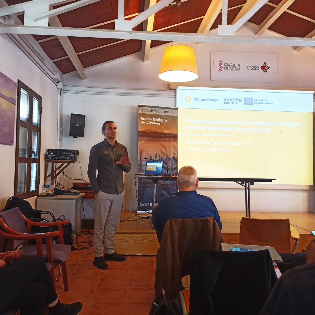
Wetland4Change’s Project meeting in Valencia – November 2025
What does Wetland4Change aim to test regarding flood regulation?
Wetland4Change seeks to evaluate and refine existing tools for assessing the flood regulation capacity of wetlands in five selected pilot sites across the Euro-Mediterranean region. Building on methodologies from previous initiatives like SWOS Horizon 2020, the project will enhance GIS, remote sensing, and hydrological modeling techniques to improve the precision and consistency of flood regulation assessments across various river basins. The goal is to address current limitations by proposing improved data sources and standardized criteria applicable not only to the Mediterranean region but also at broader pan-European and global scales.
Where are we currently in the project, and what are the next steps for WP2 in the coming months?
So far, data has been collected across all pilot sites to ensure the most up-to-date, accurate, and high-resolution information is available. Internal discussions have led to key methodological refinements, and ongoing consultations with external experts are further enhancing data sources.
The next step involves conducting the first trials of the improved methodology in three different river basins to evaluate its effectiveness.
Project partners have already engaged with local stakeholders, and a Living Lab is scheduled for May. During this workshop, initial results will be presented, and feedback from stakeholders and project partners will be gathered. This input will inform the next phase of refinements, ensuring the methodology is further optimized to strengthen wetland-based flood regulation strategies.
Michael Ronse, task officer for the MWO – Mediterranean Wetlands Observatory speaks at the Wetland4Change’s poject meeting in Valencia last November 205
What are the key environmental features considered when assessing flood regulation in wetlands? What are the main indicators used to quantify flood regulation capacity in WP2?
Work package 2 evaluates flood regulation services provided by wetlands by integrating key environmental and hydrological factors at the catchment scale. Vegetation cover, soil properties, and land use impact flood mitigation—forests and wetlands regulate floods effectively, while urban and sparsely vegetated areas offer limited capacity. The methodology we use to assess Flood Regulation capacity in this WP2 is based on analysing the service supply and demand.
Flood regulation service supply using four sub-indicators:
- Hydrological Characteristics of the Basin (HCB): Assesses runoff generation based on meteorological conditions, land cover, and interception rates using the HEC-HMS model.
- Runoff Generation Potential (RGP): Evaluates flood regulation capacity independently of weather, based on land use, vegetation, slope, and soil properties.
- Risk Mitigation Capacity (RMC): Measures an ecosystem’s ability to absorb excess water and reduce flood impact, particularly in high-risk areas with 10-, 100-, and 500-year return periods.
- Water Regulation Capacity (WRC): Assesses an ecosystem’s flood regulation potential based on watershed position, vegetation type, and water retention properties.
A georeferenced map combines these indicators to highlight areas with high flood regulation capacity that should be protected and areas where restoration could enhance resilience.
Flood Regulation Demand Assessment:
Flood regulation demand is determined by population and infrastructure vulnerability in flood-prone areas. Three sub-indicators assess exposure and risk:
- Exposure & Vulnerability of Assets (EVassets): Evaluates potential losses based on land use type and susceptibility to flooding.
- Exposure & Vulnerability of Population (EVpopulation): Considers population density, socioeconomic factors, and infrastructure (e.g., hospitals, schools) to determine risk.
- Economic Value (EcValue): Assesses the economic impact of flooding on urban, commercial, industrial, and agricultural areas, incorporating both financial and social factors.
How do you integrate climate scenarios and extreme weather events into flood regulation assessments?
Climate scenarios are not directly integrated into the methodology. However, extreme events are accounted for in multiple ways. The HEC-HMS model simulates extreme precipitation events, which are reflected in the Hydrological Characteristics of the Basin (HCB) sub-indicator. Additionally, the Risk Mitigation Capacity (RMC) sub-indicator considers extreme flood events by incorporating different return periods (e.g., 10, 100, and 500 years), ensuring that flood-prone areas and their mitigation capacity are assessed under varying levels of risk. This approach allows for an indirect integration of extreme weather events into flood regulation assessments.
What role does wetland connectivity play in mitigating flood risks across different landscapes?
Wetland connectivity is essential for maximizing the natural flood regulation capacity of wetlands across different landscapes. When wetlands are hydrologically connected, they function as a cohesive system, allowing water to flow, be stored, and be gradually released, reducing flood peaks and mitigating downstream risks. This connectivity ensures that wetlands can absorb excess water during heavy rainfall, reducing surface runoff and preventing abrupt water level rises in rivers and floodplains.
Connected wetlands act as natural reservoirs, temporarily storing floodwaters and slowing their movement across the landscape. This reduces the speed and volume of runoff reaching urban areas and critical infrastructure, preventing flash floods. Hydrologically connected wetlands maintain natural water flow dynamics and hydrological processes, ensuring that infiltration, evapotranspiration, and groundwater recharge processes function effectively. These processes regulate water levels, reducing both flood intensity and prolonged waterlogging. Wetland connectivity also ensure a better distribution of water across the landscape. When wetlands are linked, floodwaters are distributed more evenly, reducing the concentration of water in a single location.
When wetlands become disconnected or fragmented due to infrastructure development, land-use change, or drainage systems, their ability to regulate floods is severely compromised. Isolated wetlands hold less water and cannot transfer excess runoff to nearby systems, leading to local flooding or rapid water surges downstream.
Disrupted water flow patterns result in faster runoff, increased erosion, and reduced infiltration, exacerbating flood risks. Degraded Wetland Health: Fragmentation modifies wetland structure and function, leading to a decline in vegetation, loss of biodiversity, and reduced soil absorption capacity, further diminishing flood mitigation services.
Ensuring wetland connectivity is key to sustaining their natural flood regulation capacity. A well-connected wetland network enhances water retention, stabilizes hydrology, and distributes floodwaters efficiently, preventing flood disasters. Conversely, fragmentation weakens these processes, increasing flood risks and leading to wetland degradation. Protecting and restoring wetland connectivity should therefore be a priority in flood risk management strategies and nature-based solutions for climate resilience.
What are the biggest challenges in linking flood regulation assessments to wetland management strategies?
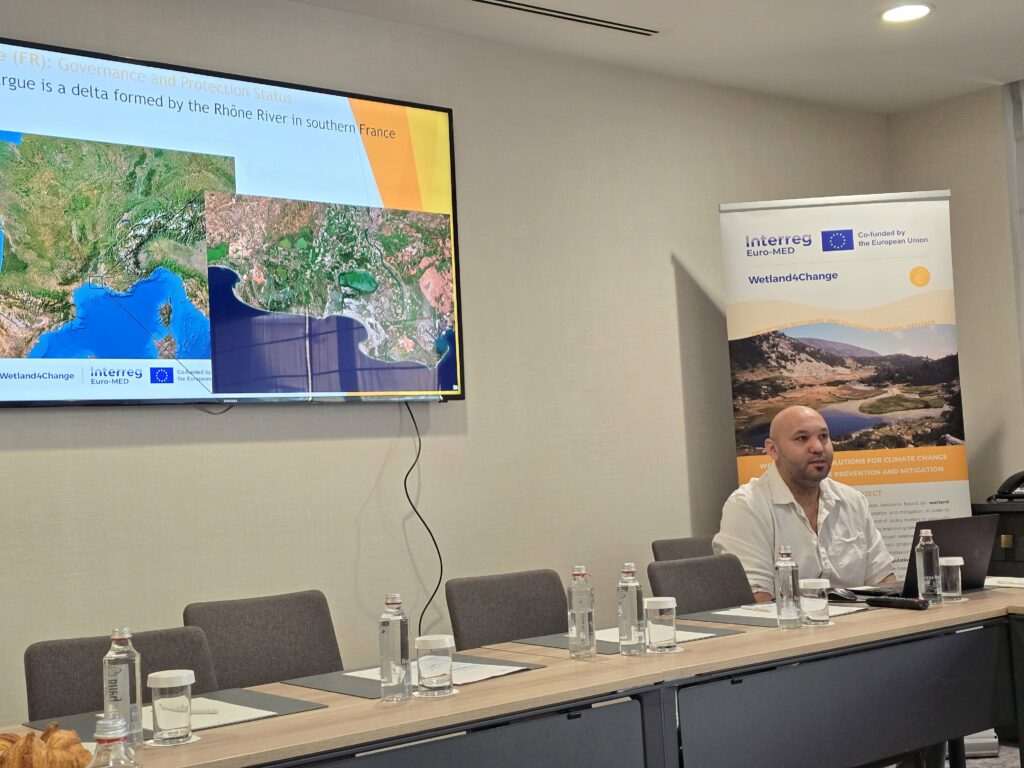
Anis Guelmami speaks at the Wetland4Change’s partners’ meeting in Sofia, March 2024
We must acknowledge that the hydrological complexity of wetlands across diverse landscapes, coupled with the absence of standardized methodologies, makes it difficult to precisely assess their capacity to provide this service. This also hinders comparisons with other findings and their integration into decision-making and practical wetland management strategies. That is why, through the Wetland4Change project, we are further refining this methodology and exploring its replicability. Additionally, uncertainties in climate change projections, particularly concerning climate variability and extreme weather events, along with inconsistencies or gaps in hydrological, climatic, and environmental data, add further complexity to the process.
The main challenge in effectively integrating the flood regulation capacity of these ecosystems in management strategies lies in promoting a stronger focus on the watershed scale, which does not always align with national wetland policies or site-specific management plans. It is at the watershed level that we face the most significant challenges, but also the greatest opportunities. Too often, “gray” infrastructure solutions, which rely on heavy engineering, are set in opposition to nature-based solutions, when in fact, they can work in synergy to meet both the socio-economic needs of human communities and the ecological needs of natural ecosystems and biodiversity.
Thus, the most pressing challenge lies in the ability of strategic policies to adopt integrated, multisectoral approaches. By addressing these issues at a landscape—and therefore watershed—scale, we can more effectively identify trade-offs that ensure the safety and well-being of different stakeholders while simultaneously preserving and strengthening the resilience of natural ecosystems.
How can wetlands be restored or enhanced to maximize their role in flood risk reduction?
Wetlands play a crucial role in flood risk reduction by naturally storing and slowing excess water. However, many wetlands have been degraded or disconnected from their surrounding hydrological networks, limiting their ability to provide this essential service. To restore and enhance their flood-regulating function, several key strategies must be implemented, focusing on hydrological connectivity, wetland health, and ecosystem resilience.
As mentioned earlier, restoring hydrological connectivity is key. One of the most effective ways to enhance wetland function is by reconnecting them to their natural water sources, such as rivers, streams, and groundwater systems. When wetlands are hydrologically connected, they can absorb and retain floodwaters, reducing peak flows and mitigating downstream flood risks. Key actions include:
- Reconnecting rivers and channelized streams to their natural floodplains, allowing wetlands to act as natural flood buffers that absorb excess water and gradually release it, preventing sudden surges.
- Removing artificial barriers such as dikes, levees, and drainage channels that have altered natural water flows.
It is also essential to restore degraded wetlands. Healthy wetlands function as natural sponges, absorbing water during heavy rainfall and slowly releasing it over time. When wetlands are drained or degraded, their flood-regulating capacity is significantly reduced. Key restoration actions include:
- Rewetting drained wetlands by blocking drainage ditches or refilling previously drained areas, restoring their natural water retention capabilities.
- Reestablishing riparian buffers along rivers and streams, which provide a natural barrier that stabilizes banks, reduces erosion, and enhances water absorption.
- Managing invasive species that disrupt native plant communities and alter wetland hydrology, ensuring that wetland ecosystems remain intact and fully functional.
By implementing these restoration and enhancement efforts, wetlands can regain their full flood-regulating capacity, helping to reduce flood peaks, mitigate erosion, and increase landscape resilience against extreme weather events. A well-connected and healthy wetland network not only protects human settlements but also supports biodiversity, improves water quality, and contributes to climate adaptation strategies.
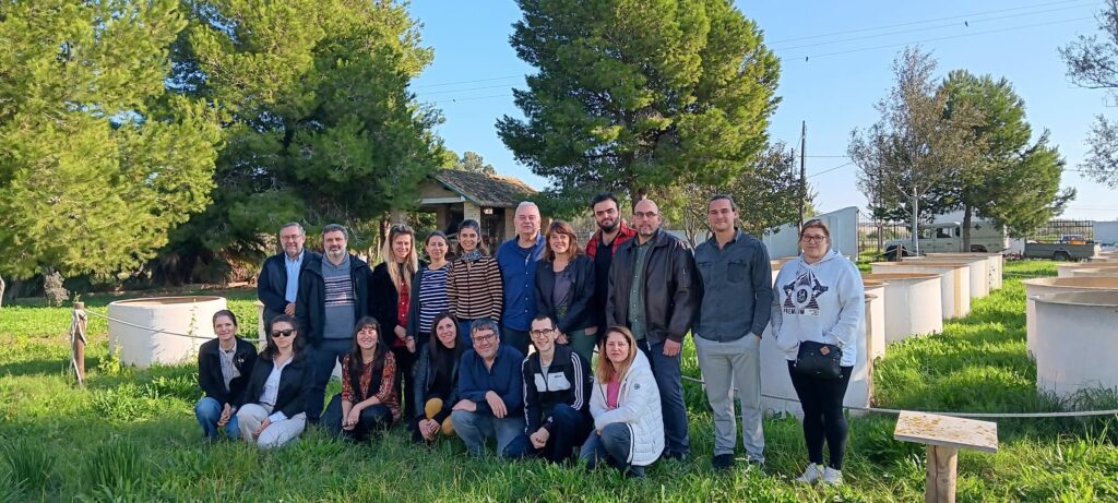
Group of Wetland4Change’s researchers in Valencia to study climate adaptation through wetlands as Nature based Solution – Albufera Park Valencia
