

From February 10 to 14, 2025, the BIOSPACE25 conference took place at ESA-ESRIN in Frascati, Italy, bringing together experts from numerous institutions to explore the role of Satellite Remote Sensing (SRS) technologies in biodiversity conservation. This international event is dedicated exclusively to SRS applications across biodiversity domains, featured dynamic and participatory sessions aimed at enhancing knowledge and collaboration on remote sensing applications.
On February 12, the Wetland4Change project actively participated in the “Wetland Ecosystems” workshop, where discussions centered on how SRS technologies can support wetland conservation, management, and restoration. Our partners from the ETC-University of Malaga, EKBY and Tour du Valat highlighted the role of these technologies in mapping and assessing wetland ecosystem services. They emphasized how remote sensing combined with modelling techniques can identify areas with high rain absorption capacity, analyse land use data, and contribute to flood regulation strategies. By leveraging high-resolution imagery and advanced analytical techniques, our project is proud to support the sustainable management of wetland ecosystems.
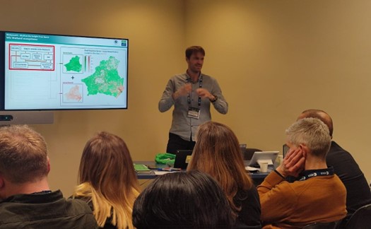
Antonio Sanchez from ETC-UMA at Biospace25 13 February 2025, Frascati | Italy
Antonio Sánchez (ETC-UMA) stated that
“Remote sensing data is essential for the assessment of flood regulation potential in hydrological basins based on its potential to track long-term changes and monitor seasonal changes effectively”.
Furthermore, Anis Guelmami (Tour du Valat) addressed the challenge to “integrate field data to target information needs related to local wetland restoration actions” while Triantafyllia Perivolioti (EKBY) highlighted the role of SRS to perform water quality monitoring following flood events.
BIOSPACE25 provided a vital platform for showcasing real-world applications of satellite-based technologies in wetland management. Through open dialogue among experts and practitioners, the event identified challenges and opportunities to better harness satellite technology for improved decision-making. With ongoing technological advancements, remote sensing continues to offer scalable solutions for monitoring biodiversity, mapping wetland habitats, and assessing climate change impacts.
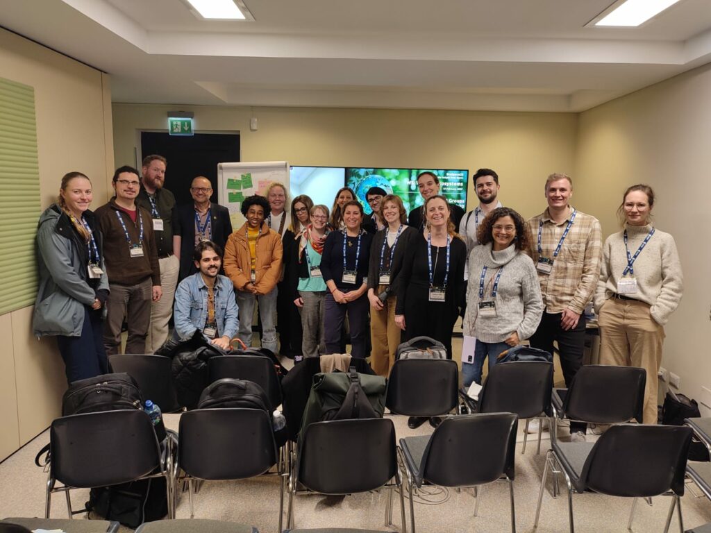
Wetland4Change at the Biospace25 Conference– Wetland workshop 13 February 2025 – Frascati | Italy
