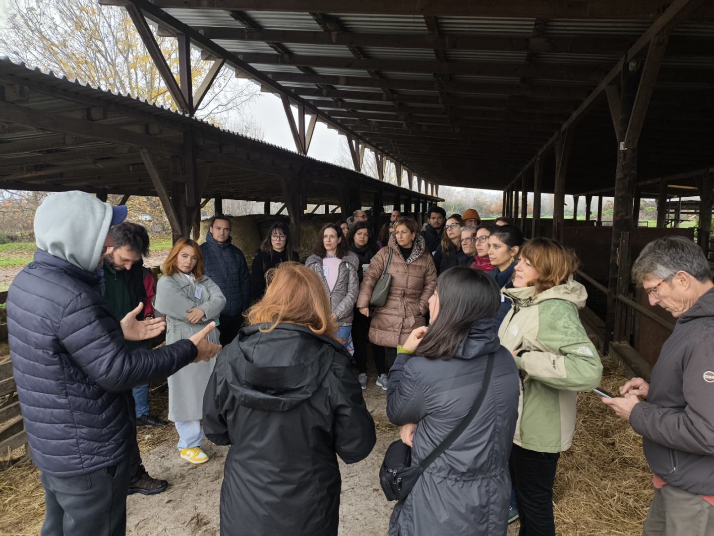
Wetland4Change held a training session on flood regulation on 29 October 2026, as the project continues its transfer phase and shares knowledge and solutions developed and tested during its first phase.
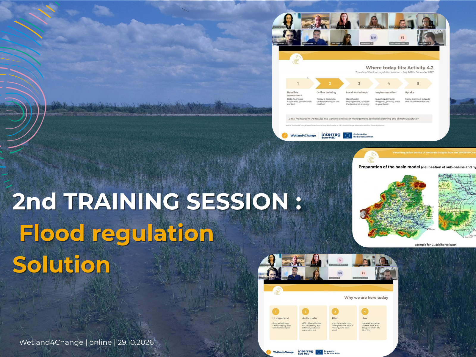
The session explored how wetlands can help reduce the impacts of rainfall-related flooding, and how assessment methods can support decisions on their conservation and restoration. The approach brings together information about the landscape, water and people, while adapting to the different capacities and data available in each catchment. Rather than producing flood-hazard or flood-risk maps, the methodology can use these as inputs to understand where wetlands may help regulate floods and where that protection matters most. By considering ecosystem-service supply alongside human demand, the assessment can help identify priorities for conserving wetlands that already provide benefits and restoring areas where needs are greater.
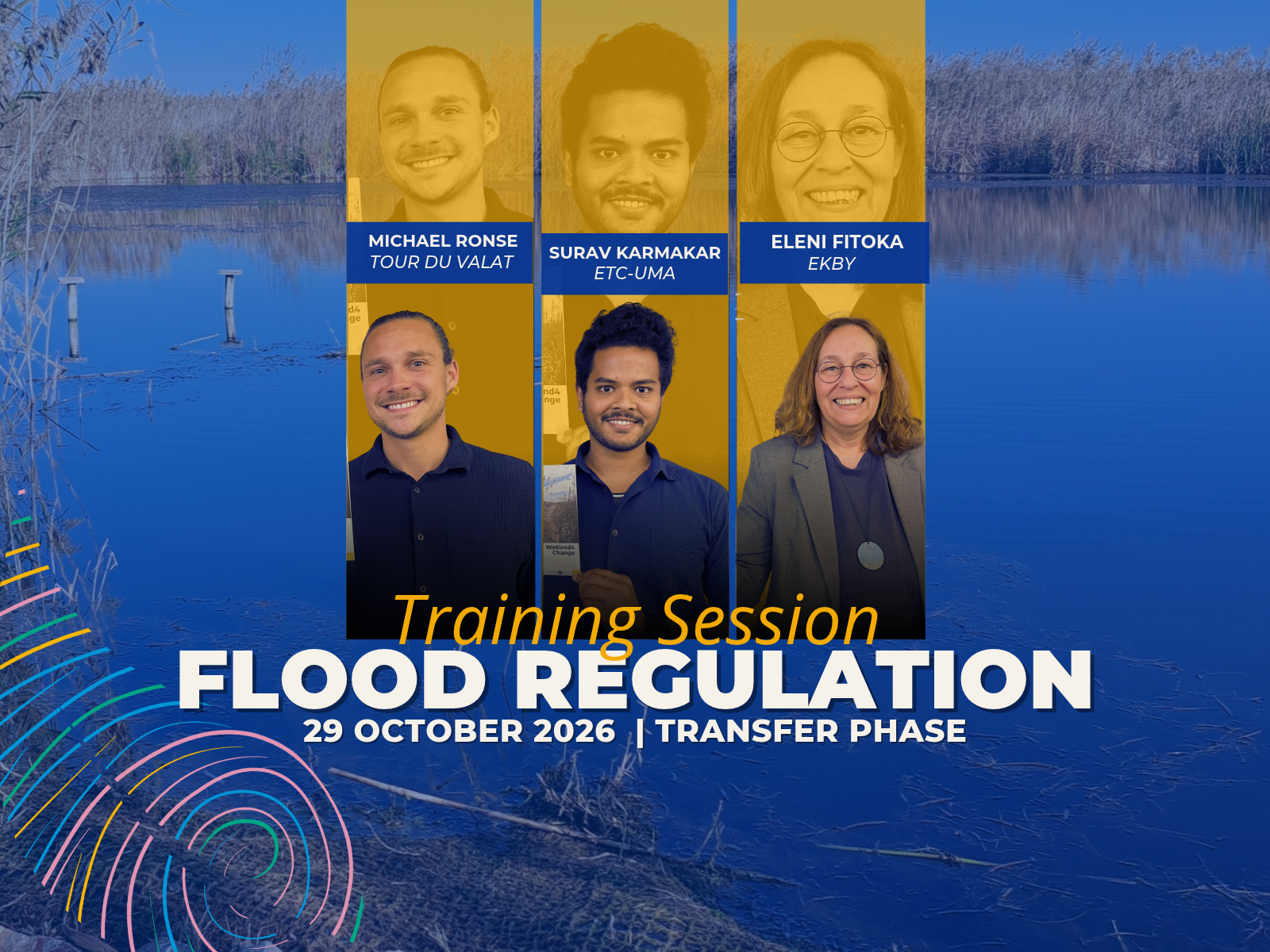
The training is part of Wetland4Change’s wider effort to share its methods across sites and support their interpretation in local contexts. This flexible approach allows partners to build on available information and develop more detailed assessments as data improves.